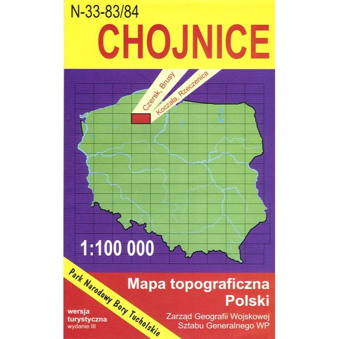
Chojnice Region Map
Quantity:
Choose options
Quantity:
Quantity:
Click on the image below to view a Classified Map sample

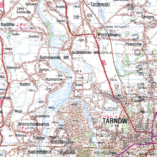
Each Classified Military Map covers 45 x 87 miles, showing large cities as well as small villages. Scale is 1:100 000. All names of city/village and index are in Polish. Legend is in Polish/German/English. This is a topographic map (mapa topograficzno) of Chojnice and surrounding area.
The map includes:
|
|
|