Map of the Klodzko Valley

Map of the Klodzko Valley

Sale price$17.00
SKU: M3005812
Quantity:
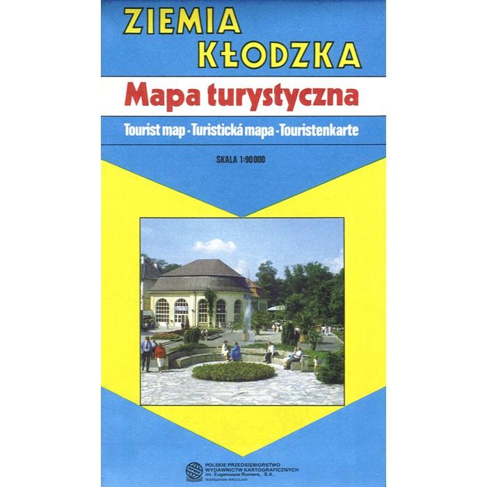
Topographic map of the Klodzko Valley (Ziemia Klodzka) in Poland. Scale of 1:90 000. All names of city/village and index are in Polish. Legend is in Polish/English/Czech/German.

The map includes:

  • international boundaries
  • railways
  • tunnels
  • main roads
  • secondary roads
  • footpaths
  • bus stops
  • filling stations
  • service stations
  • parking areas
  • hotels
  • mountain huts
  • youth hostels
  • tourist stations
  • camping sites
  • historic churches
  • castles
  • monuments
  • ruins
  • martyrology sites
  • museums
  • old ramparts
  • quarries
  • single rocks
  • caves
  • Gory Stolowe National Park boundaries
  • nature reserves
  • historic trees
  • swimming pools
  • indoor swimming pools
  • mineral springs
  • forests
  • ski lifts
  • ski trails
  • tourist trails
  • frontier crossings