Click on the image below to view an administrative map sample

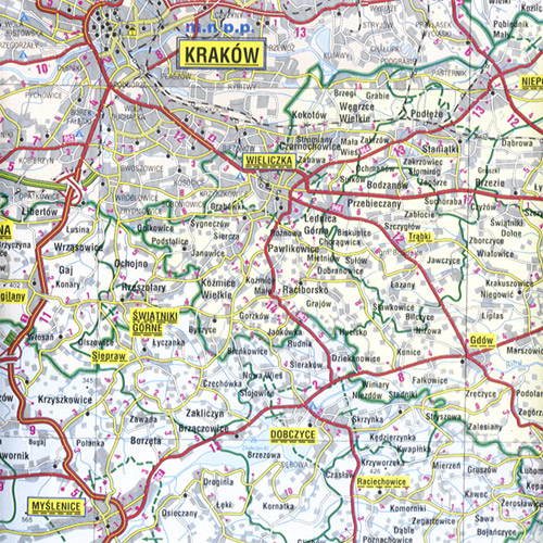
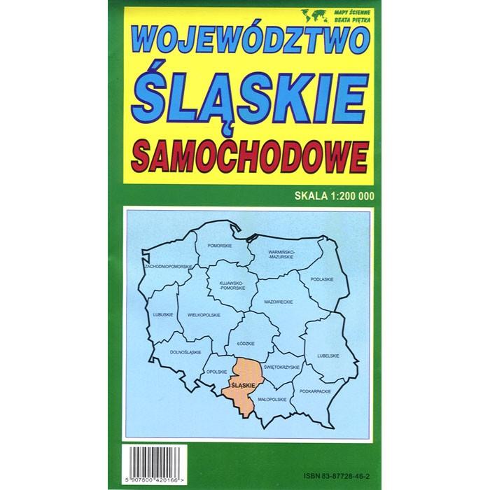
Wojewodztwo Slaskie (Silesia Province) road map with administrative region division. Each county (powiat) within the map is marked by an individual color. Scale of 1:200 000 provides accurate rendition of the voivodeship. All names of city/village, index, and legend are in Polish. Map unfolded measures 49"L x 37"W.
The map includes:
|
|
|