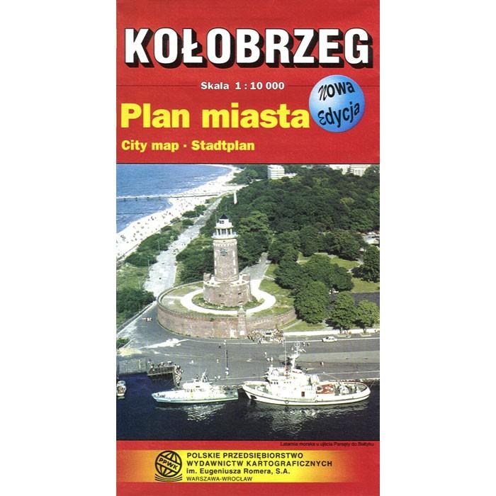
Click on the image below to view a city plan map sampleKołobrzeg map of the city with detailed tourist information and sightseeing destinations within the city. Scale of 1:10 000. All names of city/village and index are in Polish. Legend is in Polish/German/English. Map unfolded measures 32"L x 23"W.
The map includes:
- city borders
- main thoroughfares
- main streets
- footpaths
- parking zones
- railways and stations
- PKS bus stops
- pedestrian bridges
- subways
- bus routes
- residential and commercial areas
|
- public buildings
- monumental facilities
- churches
- museums
- monuments
- theatres
- hotels
- restaurants
- filling stations
- police
- post offices
|
- camp sites
- youth hostels
- hospitals
- pharmacies
- biking routes
- tourist trails
- nature reserves
- cemeteries
- gardens and orchards
- forests
- parks
|