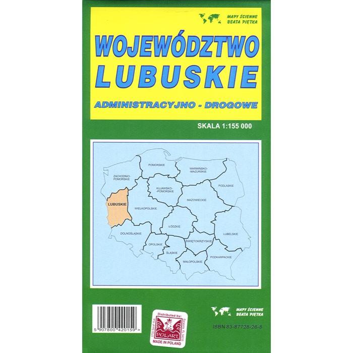
Wojewodztwo Lubuskie (Lubusz Province) road map with administrative region division. Each county (powiat) within the map is marked by an individual color. Scale of 1:155 000 provides accurate rendition of the voivodeship. All names of city/village, index, and legend are in Polish. Map unfolded measures 49"L x 37"W.
The map includes:
Province borders, Polish administrative units borders, cities boundary, head offices of administration departments, motorways, motorways in construction, main roads, secondary roads, local roads and practicable road, numbers of motorways, distance on kilometers, border crossing points, railways with stations, cable railways, monasteries, churches, camping, zoological gardens, botanical gardens, spot heights, caves