Map of the Karkonosze

Map of the Karkonosze

Sale price$11.95
SKU: M3003915
Quantity:
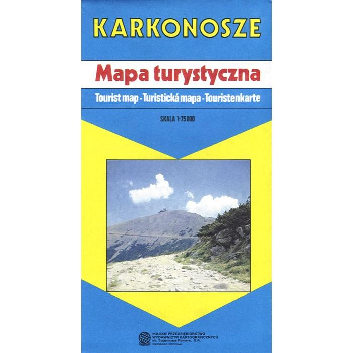
Area map of the Karkonosze Mountain Range in Poland. Scale of 1:75 000. All names of city/village are in Polish. Legend is in Polish/English/German/Czech. The map has a highlighted guide of principal sights listed in Polish/English/German.

The map includes:

  • international boundaries
  • park boundaries
  • railways
  • cable ways
  • chair lifts
  • ski lifts
  • main roads
  • secondary roads
  • other roads
  • country and forest roads
  • bus stops
  • parking areas
  • post offices
  • hospitals
  • health centers
  • pharmacies
  • volunteer mountain rescue services
  • filling stations
  • service stations
  • hotels
  • PTTK mountain huts, tourist hostels
  • youth hostels
  • tourist stations
  • camp sites
  • restaurants
  • swimming pools
  • martyrology sites
  • historic buildings
  • old ramparts
  • churches
  • historic chapels
  • monuments
  • ruins
  • museums
  • penitential crosses
  • foresters' lodges
  • quarries
  • single rocks
  • caves
  • historic trees
  • marked tourist routes
  • ski trails
  • bobsleighing runs
  • road frontier crossings