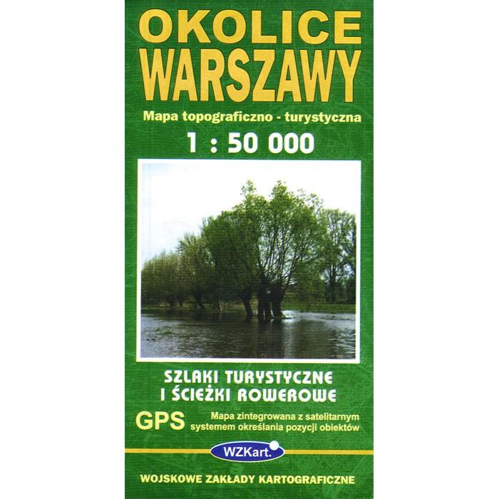
Click on the image below to view a topographic map sample Topographic map (Mapa Topograficzno) of Warszawa and surrounding area with detailed tourist information and travel destinations in the area. Scale is 1:50 000. All names of city/village and index are in Polish. Legend is in Polish/German/English. Map unfolded measures 47"L x 33"W .
The map includes:
- railways
- motorways
- main roads
- secondary roads
- local roads
- footpaths
- national and international road numbers
- PKS bus stations
- urban and suburban bus terminals
- tramway terminals
- filling stations
|
- service stations
- parking areas
- post offices
- hospitals
- hotels
- camp sites
- holiday centres and summer resorts
- foresters' lodges
- churches
- shrines
- castles
|
- palaces
- architectural monuments
- museums
- folk art centres
- old ramparts
- battle fields
- national memorial sites
- nature reserves
- historic trees
- marked tourist trails
|